Project 01 / Robotics
ERC 2026
During 2026, I had the opportunity to join Xplore's navigation team and learn a great deal about robotics, localization, and autonomous systems.
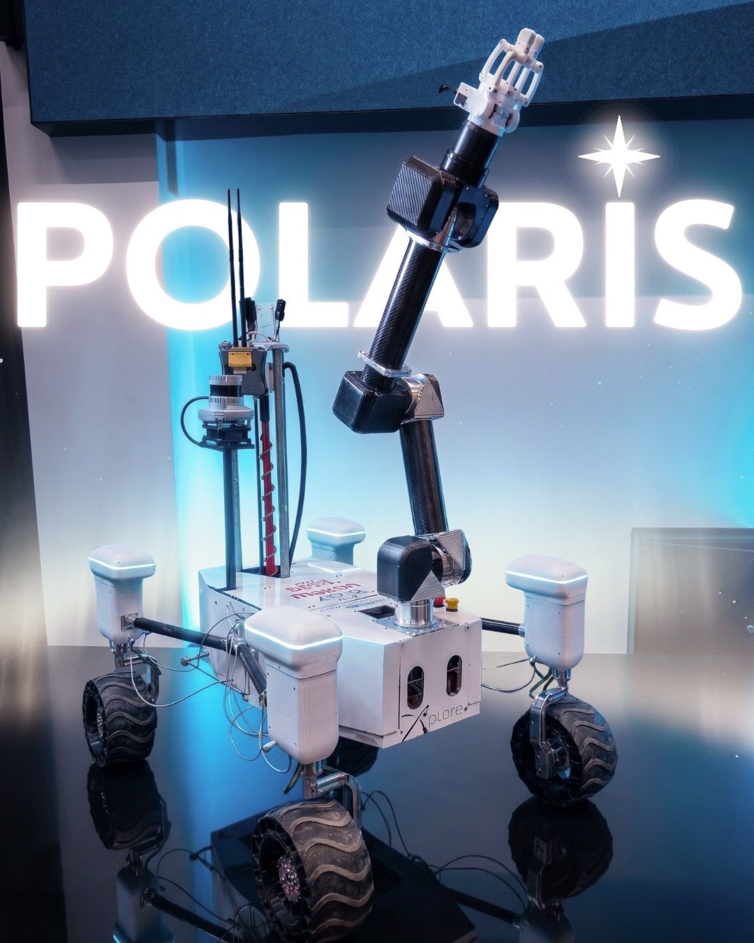
01 / Navigation system
The navigation
system.
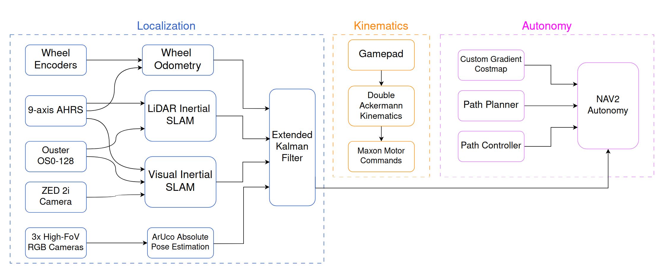
The Navigation System uses a Jetson Orin NX as the onboard computer. It is composed of three main modules: localization, path planning, and kinematics, all interfacing with the ROS 2 framework and integrated with the Nav2 stack.
The localization module is built around a custom Extended Kalman Filter fusing multiple sources: wheel odometry, a 9-axis IMU, CPU-based visual-inertial SLAM, GPU-accelerated visual-inertial SLAM, and GPU-accelerated LiDAR-inertial SLAM.
Absolute localization in the ERC reference frame is achieved by solving a custom convex optimization problem using the ranges and bearings of ArUco tag box centres, detected from the LiDAR point cloud via RANSAC-based methods.
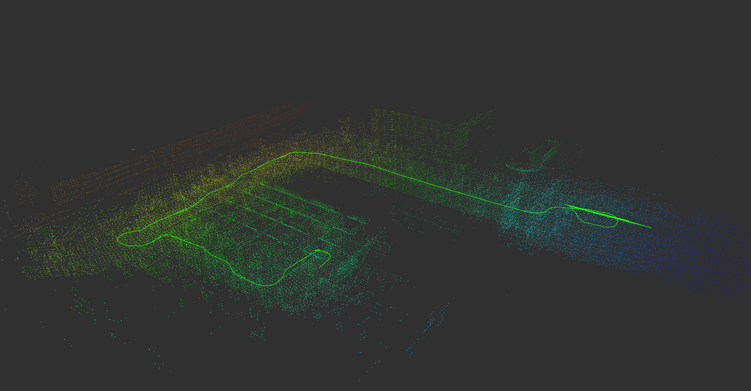
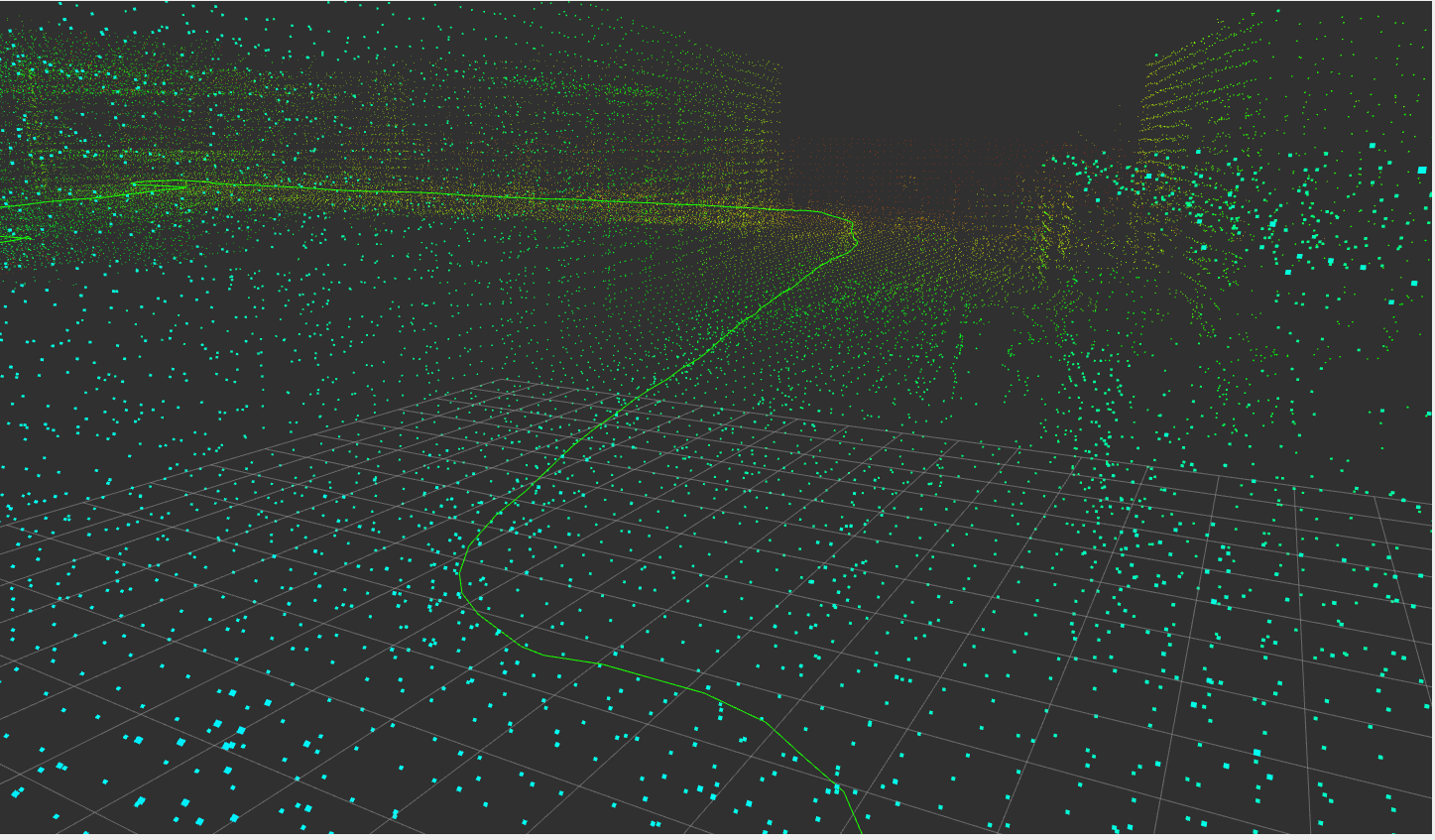
The LiDAR Inertial SLAM package we use is GLIM. It is a LiDAR-inertial SLAM framework designed to remain robust when the LiDAR temporarily loses geometric features and to close loops accurately even with little point cloud overlap.
Rather than conventional filtering approaches, it continuously re-optimises a sliding window of past poses and uses direct point cloud matching across all submap pairs for global consistency. Both modules run in real time thanks to GPU acceleration, and GLIM outperforms existing methods on standard benchmarks, particularly in challenging environments.
02 / System map
Navigation stack
overview.
03 / LiDAR-inertial SLAM
LiDAR-inertial
SLAM.
04 / LiDAR traces
LiDAR trajectory
and map output.
05 / VIO
Visual-inertial
pose estimation.
06 / Source
Open ERC_NAV on GitHub ->